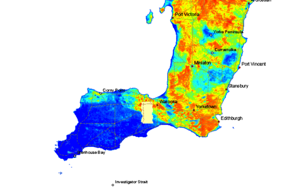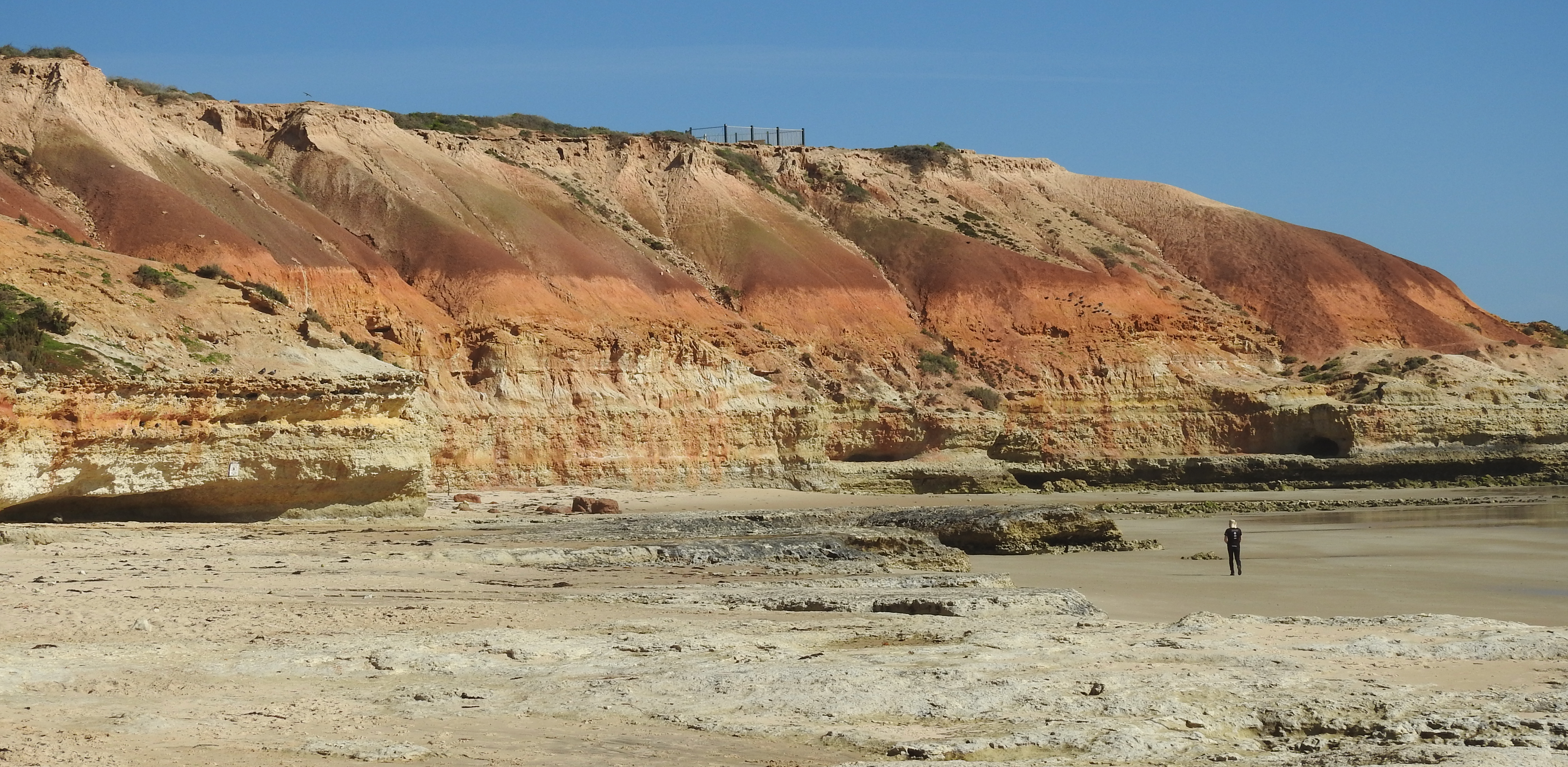
North of Stansbury on Yorke Peninsula (South Australia), towards Port Vincent, there is an interesting hike along the beach at low tide. Prominent cliffs of yellowish fossiliferous limestone overlain by reddish sand and mottled clay are in places capped by white carbonate-rich silts and hard limestone called ‘calcrete’ (1). The cliffs are up to 20m high except where broken in a few places by gullies that mark once active, short streams. At high tide the sea laps at and erodes the base of the cliffs across a shore platform cut into the limestone. 
The limestone beds (Port Vincent Limestone) were deposited in Oligocene to Miocene times, roughly 20-30 million years ago. The overlying reddish sands and clays (Hindmarsh Clay) are probably around 700,000 years old (Pleistocene age) and the white carbonate (lime) capping is even younger.
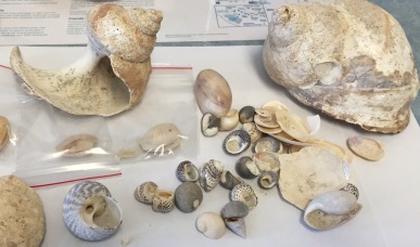
At the Stansbury jetty, the cliffs are mostly of Port Vincent Limestone. The original bedding in the limestone is outlined in places by thin rubbly layers and elsewhere by shell-rich beds. The limestone was deposited in shallow seas that once occupied the St Vincent Basin. Conspicuous amongst the fossils are whole-shell sea-urchins (echinoderms), bivalves (clams and oysters) and bryozoa in a sandy matrix that is largely made of shell fragments (4). The cliffs show spectacular evidence of former caves, sinkholes, pipes and other solution features: these are obvious because they are filled with mottled green, yellow and red sandy clays (2, 3). Undercutting by the sea has progressively collapsed the limestone to expose these structures and in places wash out the clays. The caves and pipes characteristically have smooth surfaces dating from a time when lime-rich solutions seeping over their walls precipitated calcite on evaporation. 


In the section from Beach Point (Long Beach) northwards, the Port Vincent Limestone is overlain by Hindmarsh Clay, a thick band of mottled green-yellow clays and deep red sandy clays. In contrast to the marine origin of the limestones, these were deposited during the Pleistocene in fluvial environments. The boundary between the two formations is important as it represents a large time break of several million years, during which the seas retreated from St Vincent Gulf to well south of Kangaroo Island. As this was happening, in the Late Tertiary period, the changing conditions exposed the limestones at the landsurface and subjected them to erosion, weathering and dissolution to generate a significant karst (caves, sinkholes, pipes, and the like) landscape. Major riverine and lake environments later became established in the former gulf. The river systems drained highlands to the north and generated widespread alluvial and lacustrine deposits of sand and clays over the karst limestone, filling the caves and sinkholes to produce the remnants we see in the cliffs today.
It’s interesting to speculate as to whether the remains of any fauna (including megafauna) occur within this cave and sinkhole landscape. It did, after all, form at about the same time as the extensive cave systems in the limestones of the South East and the Nullarbor which contain abundant mammalian and other fossils.
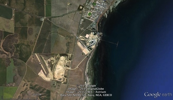
A feature of the Hindmarsh Clay is the occurrence in places of white bands of the mineral alunite (potassium aluminium sulfate). Towards the northern end of Long Beach it was sufficiently abundant for local entrepreneurs to begin to mine it to produce potassium sulfate fertilizer (according to a report by RL Jack, Assistant Government Geologist, in 1918), which was in short supply during the First World War, but the venture failed. Remnants of mining operations can still be seen at the base of the cliffs behind sand dunes (5). The alunite was formed from a reaction between acid groundwater and potassic clays in the sediments. The process in detail is unclear, but the occurrence of alunite in superposed near-horizonal seams suggests that appropriate conditions may have related to flow of local acid groundwater.
Above the Hindmarsh Clay in most of the cliff-line is a ‘blanket’ of younger Pleistocene lime deposits. These consist of unconsolidated silts with interlayers of hardened calcrete. The youngest calcrete is exposed as sheets over large areas of the landsurface on this part of Yorke Peninsula, and was exploited in earlier days for the local production of quicklime. It remains an impediment to cropping but is progressively being crushed and disaggregated by farmers using heavyweight rollers hauled behind large tractors. The unconsolidated carbonate silts are considered to be a loess-like aeolian deposits whereas the calcrete bands are likely to represent the remnants of ancient soils that formed at successively younger times.
What else can we note about the geology of the Stansbury cliffs?
Projecting the top of the cliffs seawards provides an indication of the former extent of the Pleistocene landscape that has now been disrupted and incised as the St Vincent ‘valley’ was drowned by rising seas.
Fallen blocks accumulated at the base of the cliffs is the result of mass collapse of limestone and calcrete in the cliffs caused by back-wasting under the attack of waves. Some rock fragments are very large; others are small and part of a lag concentrated by tides at the back of beach. Many are angular, which indicates that they have relatively recently fallen from the cliff; some are rounded and smoothed which indicates that they have been washed around in the surf zone for a long period of time. It’s interesting to speculate about the time that it takes the cliff to retreat under the attack of the rising sea. Only observations over the long-term (mapping of fallen blocks or reference to old photographs to compare with the present) might answer this question. However, most cliff erosion is likely to take place at comparatively rare times of severe storms and powerful wave and wind attack, whereas little change occurs under usual weather conditions.
The cliffs in some places are coated with a ‘wash’ of sediment from higher in the sequence, and this sometimes obscures the geology and makes it difficult to pinpoint breaks in the rock sequence. This coating varies from a thin surface veneer to substantial talus deposits, and usually occurs in places where the cliff is less exposed to wind and waves. As well, in places, the red sand and clay fill in the old caves and pipes has spilled out from the cliffs where erosion has exposed them.
Collapsing masses of rock, spilling of sands and clays from less coherent deposits, breaking apart and exposure of karst features, and wash over cliff surfaces, are all components of cliff retreat in this region.
It’s interesting that the cliffline can be traced from actively eroding beach cliffs north of the jetty at Stansbury to a subdued hillslope at the back of the town to beach cliffs again south of the cemetery. The townsite is actually an embayment that was filled by shallow water shelly limestones (deposited around 10,000 years ago in seas that were at a slightly higher level than today) and covered by more recent sand dunes. It seems to have been a quirk of nature that preserved the embayment, in much the same way that winds, tides and seawater circulation on this eastern side of the gulf produced distinctive, recurved sand and mud spits that protect other bays like Stansbury.
Further reading.
RP Bourman, CV Murray-Wallace, N Harvey (2016) Coastal Landscapes of South Australia. (University of Adelaide Press: Adelaide). 423pp.
AR Crawford (1965) The Geology of Yorke Peninsula. Bulletin No. 39. Department of Mines, Geological Survey of South Australia. 139pp.
RL Jack (1918) Alunite deposits, Section A. Hundred of Ramsay. InSouth Australia Department of Mines, Mining Review No. 28 for the half-year ended June 30th, 1918. pp51-53.
AR Milnes, JT Hutton (1983) Calcretes in Australia – a Review. In ‘Soils: an Australian Viewpoint’, Chapter 10, 119-162. (CSIRO, Melbourne/Academic Press, London).
WJ Stuart (1970) The Cainozoic stratigraphy of the eastern coastal area of Yorke Peninsula, South Australia. Transactions of the Royal Society of South Australia 94, 151-178.
Dr Tony Milnes – Earth Sciences, University of Adelaide